In the last third of the twentieth century a process of growing awareness of the need to protect and preserve the environment was generally happening internationally, closely linked to the rise and consolidation of the environmental movement, which extended to all levels of society. This civic and sociopolitical movement sought to establish a societal model in which people could live in harmony with nature. The phenomenon of globalisation and the relocation of productive activities increased concern about the effects of human action on the environment.
On 22 October 1982, and as a consequence of explosive cyclogenesis, the water topped the Tous dam and although the sluice gates were opened after seven in the evening, tragedy was already inevitable as the dam broke, causing the flooding of the Júcar Basin that left nearly 50 people dead.
The Earth Summit was held in 1992 to couple environmental protection with economic and social development. In Spain environmental concern was marked by several natural disasters such as the flood suffered by the Biescas campsite in 1996, the discharge of the Aznalcóllar dam in 1998 and the oil spill from the Prestige tanker in 2002.

In Spain, floods are the natural disaster with the greatest impact on property and cause the most deaths per year (361 deaths between 1995 and 2019). There are 1,398 hotspots in the country where flooding occurs regularly, and up to 50,000 constructions located in waterways and high-risk zones with a high likelihood of flooding.
The Hydrographical Confederations are responsible for managing water resources to prevent or reduce the impact of potential flooding or droughts and to ensure that the necessary resources for human supply and irrigation are in place. They also control water quality by monitoring protected areas and the possibility of discharges. In order to contribute to this mission, SICE has for decades designed solutions tailored to basin managers, developing integrated hydrological information systems for their proper management and planning.
The implementation of an AHIS (Automatic Hydrological Information System) involves the installation of hundreds of sensors that receive information and send it in real time to a control centre where it is processed using hydrological and hydraulic models.
This information provides information on the water regime throughout the river network as well as the status of the major hydraulic works and the control devices located in them. They serve to develop predictions and establish alerts as the basis for the Confederation’s managers to make the appropriate decision depending on the specific conditions. This is a complex system that integrates all the components needed for the correct and effective management of water, first and foremost for preventing and properly acting against potential flooding.
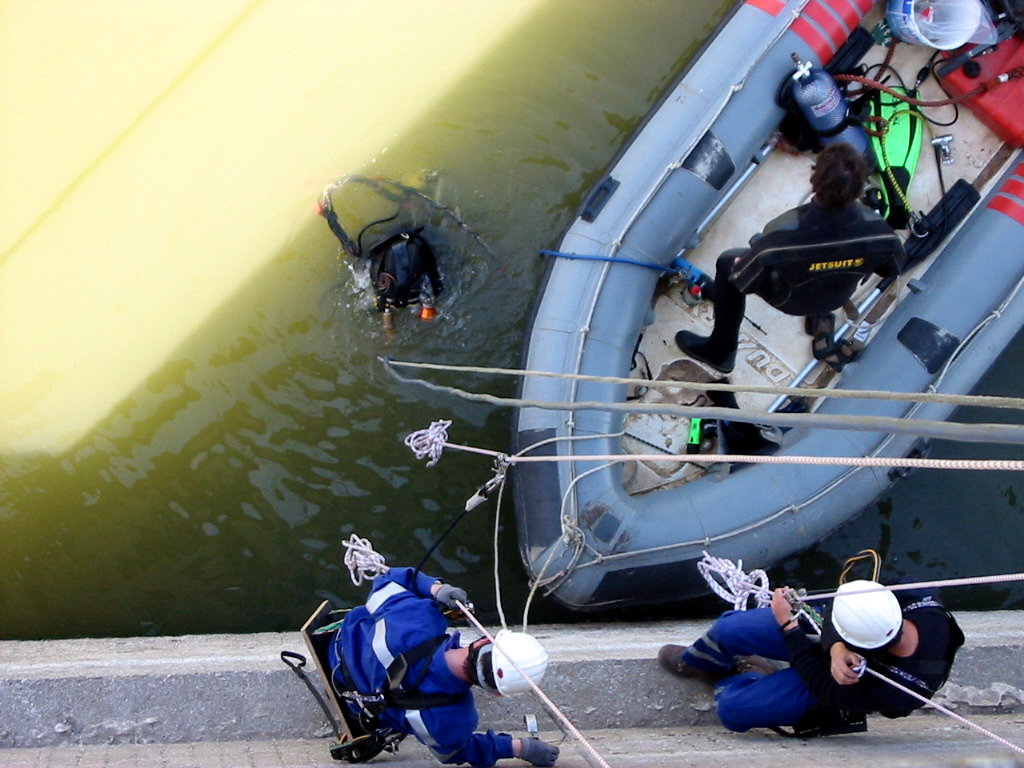
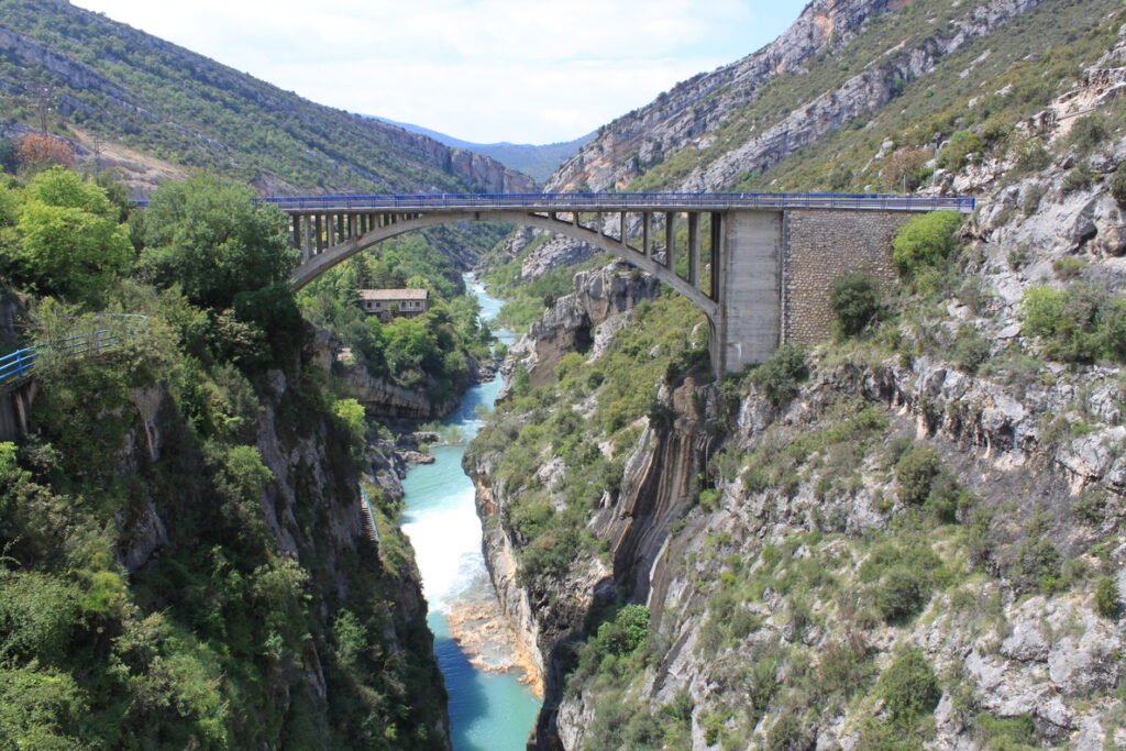
The equipment needed to gather the data collected by the SAIHs is sometimes in highly inaccessible locations, such as high mountain monitoring stations or very isolated sites. The need to take data in remote locations, sometimes at altitudes of more than 2,000 metres in the high mountains, is an additional problem in the installation, since it requires the use of specific equipment, special training needs for human teams and the acquisition of specialised vehicles.

On occasion helicopters, work ponies, catamarans, kayaks or vertical climbing and descent techniques have been required.
Throughout its history, SICE has been committed to developing technological solutions and management tools in response to the demands of society. Since the end of the 20th century, the company has been committed to the development of technological solutions for environmental management, offering the most efficient response for the proper management of the environment. Each of the challenges overcome along the way has presented a growth opportunity for the company, which over the years has established itself as an entity specialising in the design, installation and maintenance of these systems.


